

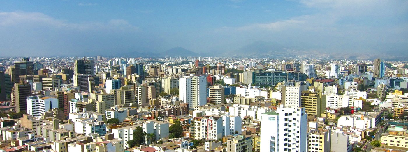
City governments have always worked from maps, and maps have always lied by omission: correct on the day they were printed, wrong ever after. A digital twin promises something different. It is a living computational copy of a city, or a district, a port or a single building, continuously fed by sensors and records so that it ages, congests and floods in step with the place it mirrors.
The idea migrated from engineering, where twins of jet engines and factory lines have long been used to predict failures before they happen. Applied to cities, the ambition grows considerably, as does the difficulty: a city is not a machine with an operator’s manual but millions of people improvising daily. Coverage of smart-city technology by outlets such as Ars Technica has tracked both the genuine promise and the overclaiming that surrounds the concept, and the truth, as usual, sits in the specifics of what a given twin is actually fed and asked to do.
A Model That Stays Alive
What separates a twin from a traditional model is the live connection. Traffic counters, transit feeds, air-quality sensors, weather stations, utility meters and planning records stream into the simulation, so its picture of the city refreshes in minutes rather than editions. Planners can then ask conditional questions with unusual confidence: what happens to congestion, emissions and noise if this street closes for a year, or if this housing development adds its residents to that junction at rush hour?
The fidelity is uneven, and honest practitioners say so. Buildings, roads and pipes can be represented in fine detail, while human behaviour, the decisive variable in most urban questions, must be approximated from patterns that can shift without warning. A twin is best understood not as a crystal ball but as a rehearsal space: a place to fail cheaply, compare options on equal terms and discard the schemes that collapse before a single road is dug up.
Where Twins Earn Their Keep
The clearest returns so far are operational rather than visionary. Water utilities use twins to predict which ageing mains are likeliest to burst and to rehearse the isolation of leaks. Flood managers test evacuation and drainage strategies against storms that have not happened yet, in districts where the cost of learning by experience is counted in homes. Transport authorities simulate timetable changes and roadworks across whole networks, discovering knock-on effects that spreadsheets routinely miss.
Energy is another strong case. A twin that knows a district’s buildings, their insulation and their demand patterns can plan retrofit programmes street by street and model how rooftop solar and heat pumps will load the local grid. In each example the pattern is the same: the twin earns its cost not by being impressive, but by making a specific recurring decision measurably better than it was when taken from static maps and professional intuition alone.
Limits of the Mirror World
Twins inherit the blind spots of their data. Neighbourhoods rich in sensors are modelled richly; districts that are poorer, older or less connected appear in lower resolution, risking a planning process that optimises the city it can see at the expense of the city it cannot. Privacy is the companion concern, since a truly live mirror of urban life draws on movement and consumption data that residents never consciously donated to a simulation.
There is also the danger of false precision: a beautiful three-dimensional rendering can make a rough estimate look like a measurement, lending weak assumptions an authority they have not earned. The cities getting the most from their twins treat them accordingly, as instruments to be calibrated, questioned and governed, with clear rules about data ownership and public accountability. A mirror is only useful if you remember it is not the thing itself, and that the real city, messy and unmodelled, always has the final vote.
Read more on techzalo.com and in our Tech pages.
